The River Swale from Lowenthwaite Bridge
Introduction
The photograph on this page of The River Swale from Lowenthwaite Bridge by Maigheach-gheal as part of the Geograph project.
The Geograph project started in 2005 with the aim of publishing, organising and preserving representative images for every square kilometre of Great Britain, Ireland and the Isle of Man.

There are currently over 7.5m images from over 14,400 individuals and you can help contribute to the project by visiting https://www.geograph.org.uk
The River Swale from Lowenthwaite Bridge
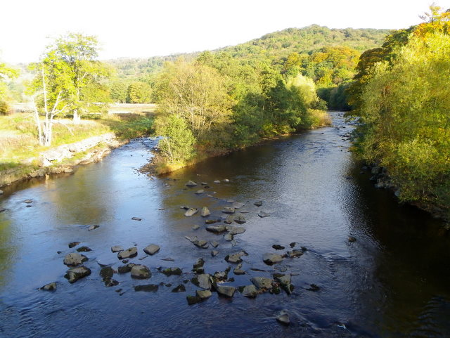
Image: © Maigheach-gheal Taken: 17 Oct 2010
Looking upstream from the bridge. The River Swale is the northernmost tributary of the Yorkshire Ouse with its headwaters located in the eastern Yorkshire Dales, from where it flows in an easterly direction towards Richmond.
Images are licensed for reuse under creativecommons.org/licenses/by-sa/2.0
Image Location
Latitude
54.402098
Longitude
-1.776146