Whitchurch - "The Mount" roundabout
Introduction
The photograph on this page of Whitchurch - "The Mount" roundabout by Mike Harris as part of the Geograph project.
The Geograph project started in 2005 with the aim of publishing, organising and preserving representative images for every square kilometre of Great Britain, Ireland and the Isle of Man.

There are currently over 7.5m images from over 14,400 individuals and you can help contribute to the project by visiting https://www.geograph.org.uk
Whitchurch - "The Mount" roundabout
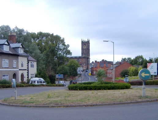
Image: © Mike Harris Taken: 13 Aug 2006
Whitchurch. View towards the town from the roundabout at the junction of the former A49 (now B5476) (Tarporley Road) with the B5395 (Chester Road and London Road). Whitchurch parish church (St. Alkmond's) is in the background, 270m away at the head of Bargates.
Images are licensed for reuse under creativecommons.org/licenses/by-sa/2.0
Image Location
Latitude
52.972642
Longitude
-2.687628