Weir on Lledan Brook
Introduction
The photograph on this page of Weir on Lledan Brook by Penny Mayes as part of the Geograph project.
The Geograph project started in 2005 with the aim of publishing, organising and preserving representative images for every square kilometre of Great Britain, Ireland and the Isle of Man.

There are currently over 7.5m images from over 14,400 individuals and you can help contribute to the project by visiting https://www.geograph.org.uk
Weir on Lledan Brook
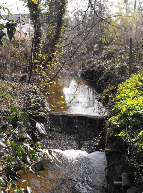
Image: © Penny Mayes Taken: 12 Apr 2010
The brook takes a strange course through the town. It emerges from under the livestock market about 175m upstream from here. Just below this weir it turns through about 100 degrees, runs SE for about 40m (under this footbridge http://www.geograph.org.uk/photo/2192788 ) then curves round and under the site of the Mill Lane foundry (now the Welsh Sausage Factory).
Images are licensed for reuse under creativecommons.org/licenses/by-sa/2.0
Image Location
Latitude
52.66073
Longitude
-3.138847