Marchfield Avenue
Introduction
The photograph on this page of Marchfield Avenue by Thomas Nugent as part of the Geograph project.
The Geograph project started in 2005 with the aim of publishing, organising and preserving representative images for every square kilometre of Great Britain, Ireland and the Isle of Man.

There are currently over 7.5m images from over 14,400 individuals and you can help contribute to the project by visiting https://www.geograph.org.uk
Marchfield Avenue
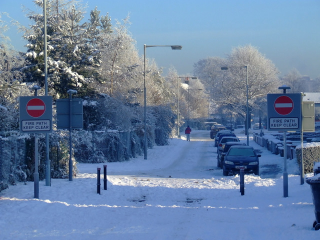
Image: © Thomas Nugent Taken: 8 Dec 2010
A traffic-calmed stretch of road which connects Marchfield Avenue to the new housing estate in Osprey Crescent acts as a fire path.
Images are licensed for reuse under creativecommons.org/licenses/by-sa/2.0
Image Location
Latitude
55.859866
Longitude
-4.432382