View of Moel y Golfa and Breidden
Introduction
The photograph on this page of View of Moel y Golfa and Breidden by Penny Mayes as part of the Geograph project.
The Geograph project started in 2005 with the aim of publishing, organising and preserving representative images for every square kilometre of Great Britain, Ireland and the Isle of Man.

There are currently over 7.5m images from over 14,400 individuals and you can help contribute to the project by visiting https://www.geograph.org.uk
View of Moel y Golfa and Breidden
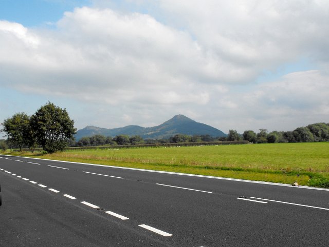
Image: © Penny Mayes Taken: 15 Sep 2009
The highest hill in this view is Moel y Golfa (403m) in Image Viewed from a layby on the A483 Oswestry road just north of Buttington Cross.
Images are licensed for reuse under creativecommons.org/licenses/by-sa/2.0
Image Location
Latitude
52.677811
Longitude
-3.120062