Primitive Methodist Church (converted) at Dirt Pot
Introduction
The photograph on this page of Primitive Methodist Church (converted) at Dirt Pot by Trevor Littlewood as part of the Geograph project.
The Geograph project started in 2005 with the aim of publishing, organising and preserving representative images for every square kilometre of Great Britain, Ireland and the Isle of Man.

There are currently over 7.5m images from over 14,400 individuals and you can help contribute to the project by visiting https://www.geograph.org.uk
Primitive Methodist Church (converted) at Dirt Pot
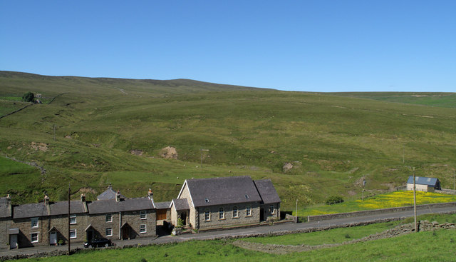
Image: © Trevor Littlewood Taken: 24 Jun 2009
Dirt Pot is a curiously named hamlet separated from Allenheads by just a short stretch of road. Seen here are several houses of Dirt Pot, which now includes the church as it's been converted to residential use.
Images are licensed for reuse under creativecommons.org/licenses/by-sa/2.0
Image Location
Latitude
54.810081
Longitude
-2.231951