Path on the east bank of the River Taff near Radyr weir
Introduction
The photograph on this page of Path on the east bank of the River Taff near Radyr weir by Jaggery as part of the Geograph project.
The Geograph project started in 2005 with the aim of publishing, organising and preserving representative images for every square kilometre of Great Britain, Ireland and the Isle of Man.

There are currently over 7.5m images from over 14,400 individuals and you can help contribute to the project by visiting https://www.geograph.org.uk
Path on the east bank of the River Taff near Radyr weir
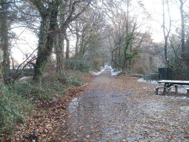
Image: © Jaggery Taken: 29 Nov 2010
The path heads away from a picnic area near Radyr weir. http://www.geograph.org.uk/photo/2191399
Images are licensed for reuse under creativecommons.org/licenses/by-sa/2.0
Image Location
Latitude
51.517612
Longitude
-3.253793