Stambridge Mills
Introduction
The photograph on this page of Stambridge Mills by terry joyce as part of the Geograph project.
The Geograph project started in 2005 with the aim of publishing, organising and preserving representative images for every square kilometre of Great Britain, Ireland and the Isle of Man.

There are currently over 7.5m images from over 14,400 individuals and you can help contribute to the project by visiting https://www.geograph.org.uk
Stambridge Mills
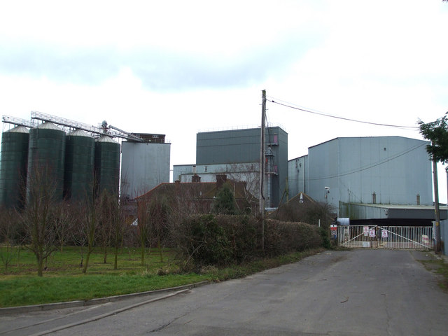
Image: © terry joyce Taken: 22 Feb 2009
These are the entrance gates to the disused mills on Mill Lane. There are plans to turn the old mills into a residential development, so this scene may change in the future.
Images are licensed for reuse under creativecommons.org/licenses/by-sa/2.0
Image Location
Latitude
51.581048
Longitude
0.721967