Track through Llanwern Golf Course
Introduction
The photograph on this page of Track through Llanwern Golf Course by Jaggery as part of the Geograph project.
The Geograph project started in 2005 with the aim of publishing, organising and preserving representative images for every square kilometre of Great Britain, Ireland and the Isle of Man.

There are currently over 7.5m images from over 14,400 individuals and you can help contribute to the project by visiting https://www.geograph.org.uk
Track through Llanwern Golf Course
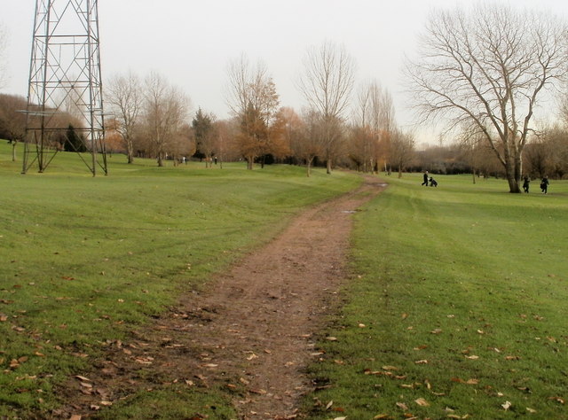
Image: © Jaggery Taken: 26 Nov 2010
Llanwern Golf Club's course in bordered by Dockwell Wood to the north, Hartridge High School to the west, the South Wales main railway line to the south and Llanwern village to the east. The course occupies land formerly part of Pwl-pan Manor. http://www.geograph.org.uk/photo/2191235
Images are licensed for reuse under creativecommons.org/licenses/by-sa/2.0
Image Location
Latitude
51.583573
Longitude
-2.929418