Hartridge High School playing fields
Introduction
The photograph on this page of Hartridge High School playing fields by Jaggery as part of the Geograph project.
The Geograph project started in 2005 with the aim of publishing, organising and preserving representative images for every square kilometre of Great Britain, Ireland and the Isle of Man.

There are currently over 7.5m images from over 14,400 individuals and you can help contribute to the project by visiting https://www.geograph.org.uk
Hartridge High School playing fields
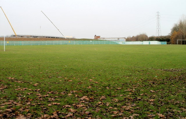
Image: © Jaggery Taken: 26 Nov 2010
Located on the south side of the school. In the distance are two crane jibs. A major redevelopment is being undertaken at the school. http://www.geograph.org.uk/photo/2176611
Images are licensed for reuse under creativecommons.org/licenses/by-sa/2.0
Image Location
Latitude
51.586247
Longitude
-2.93236