Farmland near Belford (2)
Introduction
The photograph on this page of Farmland near Belford (2) by Stephen Richards as part of the Geograph project.
The Geograph project started in 2005 with the aim of publishing, organising and preserving representative images for every square kilometre of Great Britain, Ireland and the Isle of Man.

There are currently over 7.5m images from over 14,400 individuals and you can help contribute to the project by visiting https://www.geograph.org.uk
Farmland near Belford (2)
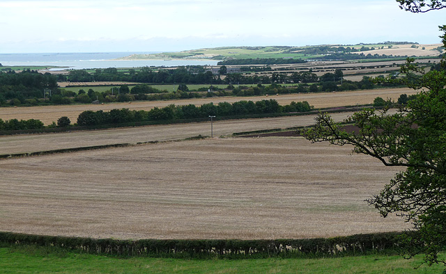
Image: © Stephen Richards Taken: Unknown
Flat farmland by the sea. Picked out by the sun is Budle Bay, culminating at Budle Point. Concealed within this placid scene are the A1 (in the trees behind the telegraph pole), and beyond that the Newcastle-Edinburgh railway line (you may just be able to make out some overhead power lines).
Images are licensed for reuse under creativecommons.org/licenses/by-sa/2.0
Image Location
Latitude
55.610289
Longitude
-1.832502