Seabank flats, Penarth
Introduction
The photograph on this page of Seabank flats, Penarth by Jaggery as part of the Geograph project.
The Geograph project started in 2005 with the aim of publishing, organising and preserving representative images for every square kilometre of Great Britain, Ireland and the Isle of Man.

There are currently over 7.5m images from over 14,400 individuals and you can help contribute to the project by visiting https://www.geograph.org.uk
Seabank flats, Penarth
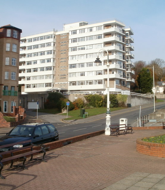
Image: © Jaggery Taken: 24 Nov 2010
Seabank is a multi-storey building of about 50 flats, at the southern end of Beach Road, near The Esplanade.
Images are licensed for reuse under creativecommons.org/licenses/by-sa/2.0
Image Location
Latitude
51.435771
Longitude
-3.168108