Sovereign Road, Earlsdon
Introduction
The photograph on this page of Sovereign Road, Earlsdon by E Gammie as part of the Geograph project.
The Geograph project started in 2005 with the aim of publishing, organising and preserving representative images for every square kilometre of Great Britain, Ireland and the Isle of Man.

There are currently over 7.5m images from over 14,400 individuals and you can help contribute to the project by visiting https://www.geograph.org.uk
Sovereign Road, Earlsdon
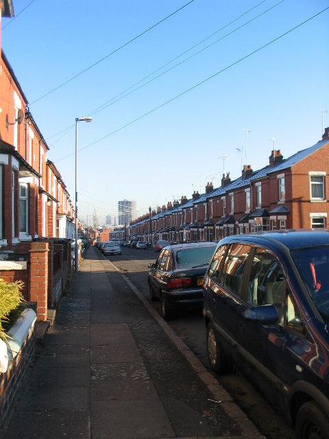
Image: © E Gammie Taken: 7 Dec 2010
Early 20th century red brick terraces. Ground floor window bays in contrast to flat frontages in nearby Kingston Road ( http://www.geograph.org.uk/photo/2189942 ). The tower block in the distance is the Ramada hotel in the Butts (SP3278).
Images are licensed for reuse under creativecommons.org/licenses/by-sa/2.0
Image Location
Latitude
52.405023
Longitude
-1.532081