Cefn yr Allt Uchaf
Introduction
The photograph on this page of Cefn yr Allt Uchaf by Alan Richards as part of the Geograph project.
The Geograph project started in 2005 with the aim of publishing, organising and preserving representative images for every square kilometre of Great Britain, Ireland and the Isle of Man.

There are currently over 7.5m images from over 14,400 individuals and you can help contribute to the project by visiting https://www.geograph.org.uk
Cefn yr Allt Uchaf
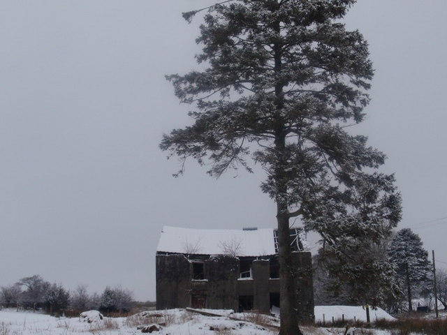
Image: © Alan Richards Taken: 31 Jan 2010
Ffarm Cefn yr Allt Uchaf sy bellach yn adfeilio'n gyflym. The now derelict Cefn yr Allt Uchaf Farm (Trans. Upper Wooded Hillside Ridge Farm)
Images are licensed for reuse under creativecommons.org/licenses/by-sa/2.0
Image Location
Latitude
51.98338
Longitude
-3.795068