High Crompton Park
Introduction
The photograph on this page of High Crompton Park by michael ely as part of the Geograph project.
The Geograph project started in 2005 with the aim of publishing, organising and preserving representative images for every square kilometre of Great Britain, Ireland and the Isle of Man.

There are currently over 7.5m images from over 14,400 individuals and you can help contribute to the project by visiting https://www.geograph.org.uk
High Crompton Park
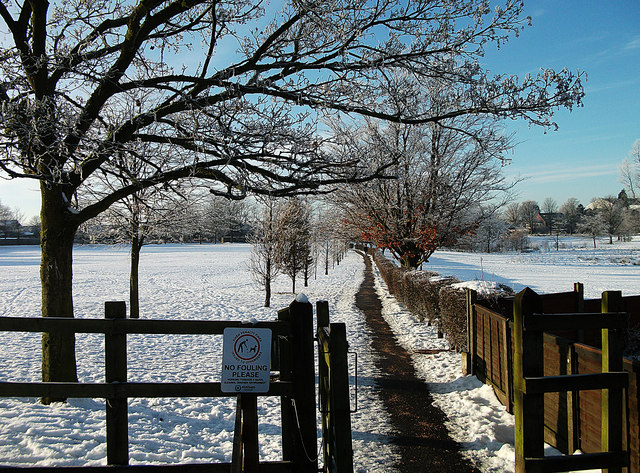
Image: © michael ely Taken: 6 Dec 2010
This is the Rushcroft Road entrance where a footpath (cleared of snow and ice) leads towards the children's play area and bowling green.
Images are licensed for reuse under creativecommons.org/licenses/by-sa/2.0
Image Location
Latitude
53.585185
Longitude
-2.111289