Crossroads on Hook Wall
Introduction
The photograph on this page of Crossroads on Hook Wall by David Anstiss as part of the Geograph project.
The Geograph project started in 2005 with the aim of publishing, organising and preserving representative images for every square kilometre of Great Britain, Ireland and the Isle of Man.

There are currently over 7.5m images from over 14,400 individuals and you can help contribute to the project by visiting https://www.geograph.org.uk
Crossroads on Hook Wall
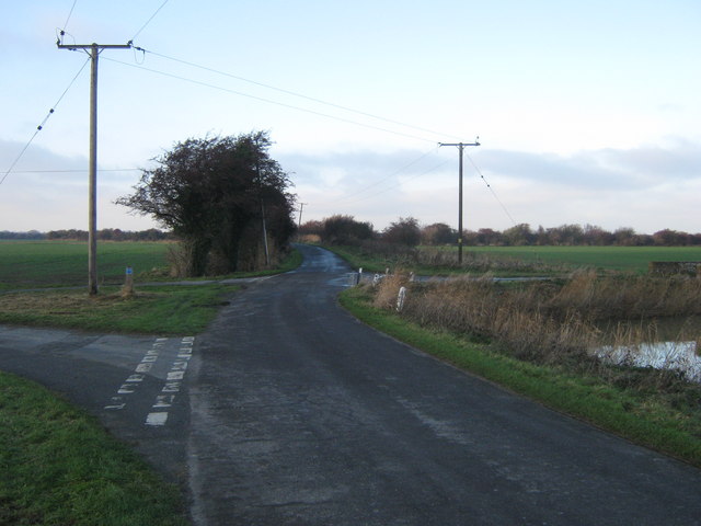
Image: © David Anstiss Taken: 6 Dec 2010
Hook Wall leads from Old Romney Lane, straight on towards the A259 Guldeford Lane. An access road leads left to Old Cheyne Court. Also Ashentree Lane leads right (over Ashentree Bridge over the White Kemp Sewer), leading towards Brookland.
Images are licensed for reuse under creativecommons.org/licenses/by-sa/2.0
Image Location


Leaflet Map data © OpenStreetMap
Latitude
50.97924
Longitude
0.847181