Moorland Park houses, Newport
Introduction
The photograph on this page of Moorland Park houses, Newport by Jaggery as part of the Geograph project.
The Geograph project started in 2005 with the aim of publishing, organising and preserving representative images for every square kilometre of Great Britain, Ireland and the Isle of Man.

There are currently over 7.5m images from over 14,400 individuals and you can help contribute to the project by visiting https://www.geograph.org.uk
Moorland Park houses, Newport
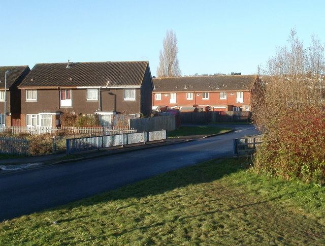
Image: © Jaggery Taken: 5 Dec 2010
The SE edge of Moorland Park, an estate of 205 houses built in the 1960s, on the west side of Spytty Road (A48). The railings are where the road crosses over Liswerry Pill Reen, a drainage channel marking the border between Moorland Park and Broadmead Park, from where this view was taken.
Images are licensed for reuse under creativecommons.org/licenses/by-sa/2.0
Image Location
Latitude
51.581648
Longitude
-2.945255