Drainage channel alongside A48, Ringland, Newport
Introduction
The photograph on this page of Drainage channel alongside A48, Ringland, Newport by Jaggery as part of the Geograph project.
The Geograph project started in 2005 with the aim of publishing, organising and preserving representative images for every square kilometre of Great Britain, Ireland and the Isle of Man.

There are currently over 7.5m images from over 14,400 individuals and you can help contribute to the project by visiting https://www.geograph.org.uk
Drainage channel alongside A48, Ringland, Newport
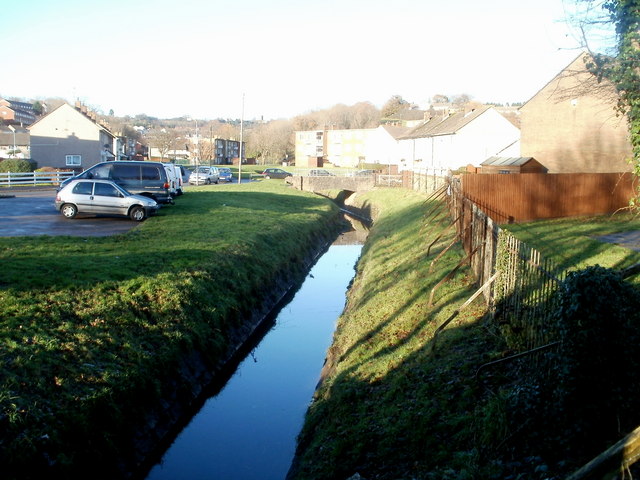
Image: © Jaggery Taken: 5 Dec 2010
Viewed from a wooden fence on the western side of the A48 (Ringland Way). A small stream from higher ground in Ringland is now a drainage channel, here near the edge of Sullivan Circle and Malcolm Sargent Close. A short distance behind the camera, it is named Liswerry Pill Reen.
Images are licensed for reuse under creativecommons.org/licenses/by-sa/2.0
Image Location
Latitude
51.585279
Longitude
-2.941