Hillside, Eastern Down
Introduction
The photograph on this page of Hillside, Eastern Down by Derek Harper as part of the Geograph project.
The Geograph project started in 2005 with the aim of publishing, organising and preserving representative images for every square kilometre of Great Britain, Ireland and the Isle of Man.

There are currently over 7.5m images from over 14,400 individuals and you can help contribute to the project by visiting https://www.geograph.org.uk
Hillside, Eastern Down
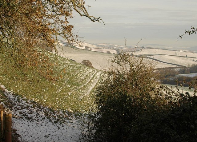
Image: © Derek Harper Taken: 3 Dec 2010
A view from Armourwood Lane, the green lane crossing the eastern end of the Raddon Hills, with terracettes shown up by the snow.
Images are licensed for reuse under creativecommons.org/licenses/by-sa/2.0
Image Location
Latitude
50.816332
Longitude
-3.542961