Cattle at Eastern Down
Introduction
The photograph on this page of Cattle at Eastern Down by Derek Harper as part of the Geograph project.
The Geograph project started in 2005 with the aim of publishing, organising and preserving representative images for every square kilometre of Great Britain, Ireland and the Isle of Man.

There are currently over 7.5m images from over 14,400 individuals and you can help contribute to the project by visiting https://www.geograph.org.uk
Cattle at Eastern Down
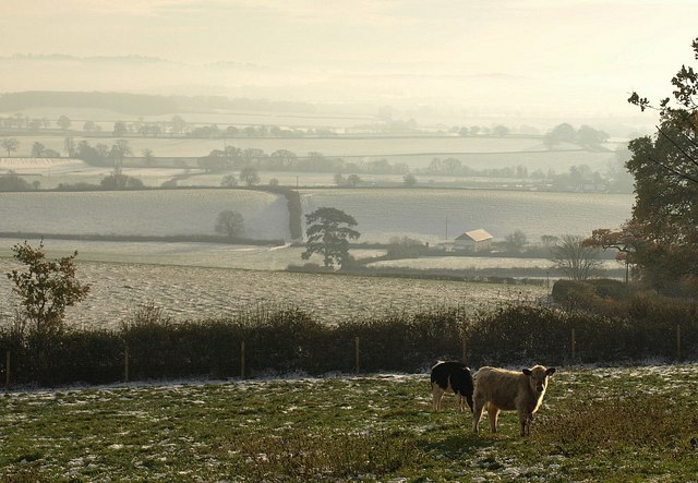
Image: © Derek Harper Taken: 3 Dec 2010
A view from a gate on Armourwood Lane at the northern edge of the square. See that next field beyond the one with the cattle? That's where our balloon came down after the trip from which the photos in http://www.geograph.org.uk/search.php?i=17425078 were taken. Bit warmer that day.
Images are licensed for reuse under creativecommons.org/licenses/by-sa/2.0
Image Location
Latitude
50.815414
Longitude
-3.54435