The Roughton milestone in its setting
Introduction
The photograph on this page of The Roughton milestone in its setting by Richard Law as part of the Geograph project.
The Geograph project started in 2005 with the aim of publishing, organising and preserving representative images for every square kilometre of Great Britain, Ireland and the Isle of Man.

There are currently over 7.5m images from over 14,400 individuals and you can help contribute to the project by visiting https://www.geograph.org.uk
The Roughton milestone in its setting
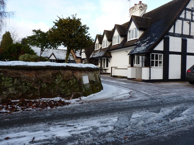
Image: © Richard Law Taken: 5 Dec 2010
The stone has at some time been removed from its original location by the (old) road through the village, and now forms part of a garden wall. At least it's not fallen victim to 'storage' by the council, so it's still on public view. For a close up, see Image
Images are licensed for reuse under creativecommons.org/licenses/by-sa/2.0
Image Location
Latitude
52.545985
Longitude
-2.36581