Lovers Walk
Introduction
The photograph on this page of Lovers Walk by Martin Addison as part of the Geograph project.
The Geograph project started in 2005 with the aim of publishing, organising and preserving representative images for every square kilometre of Great Britain, Ireland and the Isle of Man.

There are currently over 7.5m images from over 14,400 individuals and you can help contribute to the project by visiting https://www.geograph.org.uk
Lovers Walk
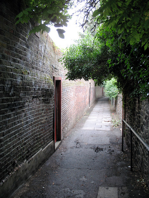
Image: © Martin Addison Taken: 14 Aug 2006
Footpath between Ballards Lane and Nether Street, Finchley Central. The tall wall on the left screens houses, each of which have gates onto the alleyway.
Images are licensed for reuse under creativecommons.org/licenses/by-sa/2.0
Image Location
Latitude
51.605727
Longitude
-0.193491