Old road alignment, Blairpark
Introduction
The photograph on this page of Old road alignment, Blairpark by Richard Webb as part of the Geograph project.
The Geograph project started in 2005 with the aim of publishing, organising and preserving representative images for every square kilometre of Great Britain, Ireland and the Isle of Man.

There are currently over 7.5m images from over 14,400 individuals and you can help contribute to the project by visiting https://www.geograph.org.uk
Old road alignment, Blairpark
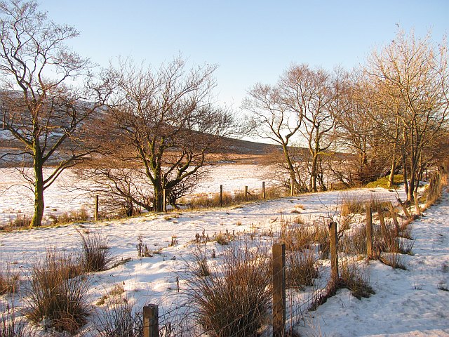
Image: © Richard Webb Taken: 5 Dec 2010
This is where the old road from the days before the Muirhead reservoir diverges from the current route. The road was built on a higher level when the reservoir was built. There were two farms alongside the road, Muirhead and Knockside.
Images are licensed for reuse under creativecommons.org/licenses/by-sa/2.0
Image Location
Latitude
55.777964
Longitude
-4.792649