Llwybr Cwm Aman Footpath
Introduction
The photograph on this page of Llwybr Cwm Aman Footpath by Alan Richards as part of the Geograph project.
The Geograph project started in 2005 with the aim of publishing, organising and preserving representative images for every square kilometre of Great Britain, Ireland and the Isle of Man.

There are currently over 7.5m images from over 14,400 individuals and you can help contribute to the project by visiting https://www.geograph.org.uk
Llwybr Cwm Aman Footpath
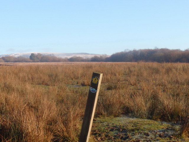
Image: © Alan Richards Taken: 5 Dec 2010
Mae'r llwybr cyhoeddus yn arwain drwy'r brwyn at Barc Natur Ynys Dawela. Gan amlaf porir y tir gan dda ac mae'r postyn, wrth ei siap, wedi bod yn gyfleus iawn i rwto yn ei erbyn. The footpath leads through the rushes towards Ynys Dawela Nature Reserve. The field is usually grazed by cattle and judging by the shape of the waymarker it has become a very convenient rubbing post.
Images are licensed for reuse under creativecommons.org/licenses/by-sa/2.0
Image Location


Leaflet Map data © OpenStreetMap
Latitude
51.806101
Longitude
-3.889987