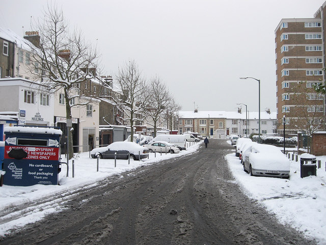
Ethel Street
Introduction
The photograph on this page of Ethel Street by Simon Carey as part of the Geograph project.
The Geograph project started in 2005 with the aim of publishing, organising and preserving representative images for every square kilometre of Great Britain, Ireland and the Isle of Man.
There are currently over 7.5m images from over 14,400 individuals and you can help contribute to the project by visiting https://www.geograph.org.uk

Image: © Simon Carey Taken: 2 Dec 2010
Connecting Conway Street to Clarendon Road the street was built up from the 1870s onwards before the western side was completely redeveloped during the 1960s with virtually all of the terraced housing cleared for a number of high rise blocks, one of them, Livingstone House, in view on the right.The houses on the left are the rear part of those facing out onto Goldstone Villas.

