Sackville Road
Introduction
The photograph on this page of Sackville Road by Simon Carey as part of the Geograph project.
The Geograph project started in 2005 with the aim of publishing, organising and preserving representative images for every square kilometre of Great Britain, Ireland and the Isle of Man.

There are currently over 7.5m images from over 14,400 individuals and you can help contribute to the project by visiting https://www.geograph.org.uk
Sackville Road
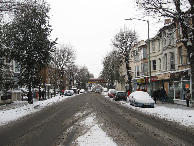
Image: © Simon Carey Taken: 2 Dec 2010
The A2023 that runs between the A259 and the A2038. Originally an ancient route that linked the small settlement of Hove with the Downs it was known as Hove Drove until changed to the current name in 1880. The girder bridge in the distance carrying the railway over the road was built in 1927 to replace the original narrow brick arch construction which was deemed too narrow to cope with existing traffic.
Images are licensed for reuse under creativecommons.org/licenses/by-sa/2.0
Image Location
Latitude
50.835324
Longitude
-0.177102