St Barnabas Church
Introduction
The photograph on this page of St Barnabas Church by Simon Carey as part of the Geograph project.
The Geograph project started in 2005 with the aim of publishing, organising and preserving representative images for every square kilometre of Great Britain, Ireland and the Isle of Man.

There are currently over 7.5m images from over 14,400 individuals and you can help contribute to the project by visiting https://www.geograph.org.uk
St Barnabas Church
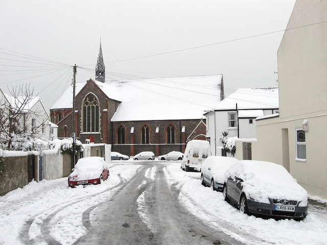
Image: © Simon Carey Taken: 2 Dec 2010
Located on the corner of Sackville Road and Coleridge Street though this view is from Sheridan Terrace. It was consecrated in 1883 to serve the growing area around Conway Street and the soon to be built Poets Corner. Prior to the church being built the land was allotments and before that a field which was a popular stopping place for gypsies.
Images are licensed for reuse under creativecommons.org/licenses/by-sa/2.0
Image Location
Latitude
50.833716
Longitude
-0.172053