Above Wooburn Green
Introduction
The photograph on this page of Above Wooburn Green by Graham Horn as part of the Geograph project.
The Geograph project started in 2005 with the aim of publishing, organising and preserving representative images for every square kilometre of Great Britain, Ireland and the Isle of Man.

There are currently over 7.5m images from over 14,400 individuals and you can help contribute to the project by visiting https://www.geograph.org.uk
Above Wooburn Green
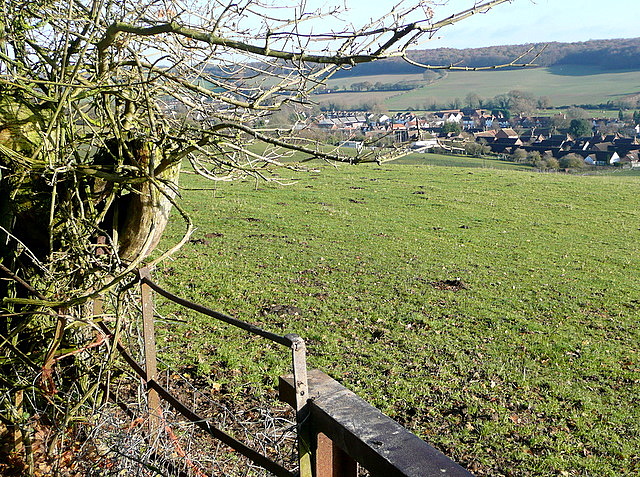
Image: © Graham Horn Taken: 5 Dec 2010
A footpath from Flackwell Heath reaches a stile and there is a sudden aerial view of Wooburn Green in the Wye valley, with Mill Wood Image on the far side. The immediate vicinity is cattle pasture.
Images are licensed for reuse under creativecommons.org/licenses/by-sa/2.0
Image Location
Latitude
51.58625
Longitude
-0.690815