Lewisham Hill (2)
Introduction
The photograph on this page of Lewisham Hill (2) by Danny P Robinson as part of the Geograph project.
The Geograph project started in 2005 with the aim of publishing, organising and preserving representative images for every square kilometre of Great Britain, Ireland and the Isle of Man.

There are currently over 7.5m images from over 14,400 individuals and you can help contribute to the project by visiting https://www.geograph.org.uk
Lewisham Hill (2)
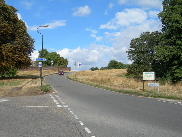
Image: © Danny P Robinson Taken: 13 Aug 2006
Lewisham Hill at the junction of St Austell Road and Wat Tyler Road. This is a scenic route from Lewisham to Greenwich on foot or by cycle.
Images are licensed for reuse under creativecommons.org/licenses/by-sa/2.0
Image Location
Latitude
51.46875
Longitude
-0.008852