Cleve Hill Sub-station
Introduction
The photograph on this page of Cleve Hill Sub-station by Martyn Ayre as part of the Geograph project.
The Geograph project started in 2005 with the aim of publishing, organising and preserving representative images for every square kilometre of Great Britain, Ireland and the Isle of Man.

There are currently over 7.5m images from over 14,400 individuals and you can help contribute to the project by visiting https://www.geograph.org.uk
Cleve Hill Sub-station
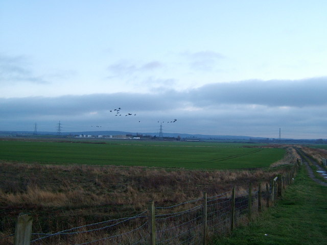
Image: © Martyn Ayre Taken: 5 Dec 2010
Viewed from where the track to Graveney heads away from the sea-wall across the fields on the marsh, this is the sub-station currently under construction. When completed, it will increase the connectivity of the wind turbines on Whitstable Flats to the National Grid. A few Brent geese provided the fly-past, heading inland, after an afternoon's feeding on the Swale's mudflats at low tide.
Images are licensed for reuse under creativecommons.org/licenses/by-sa/2.0
Image Location
Latitude
51.338503
Longitude
0.94062