Boundary Road/Carlton Terrace
Introduction
The photograph on this page of Boundary Road/Carlton Terrace by Simon Carey as part of the Geograph project.
The Geograph project started in 2005 with the aim of publishing, organising and preserving representative images for every square kilometre of Great Britain, Ireland and the Isle of Man.

There are currently over 7.5m images from over 14,400 individuals and you can help contribute to the project by visiting https://www.geograph.org.uk
Boundary Road/Carlton Terrace
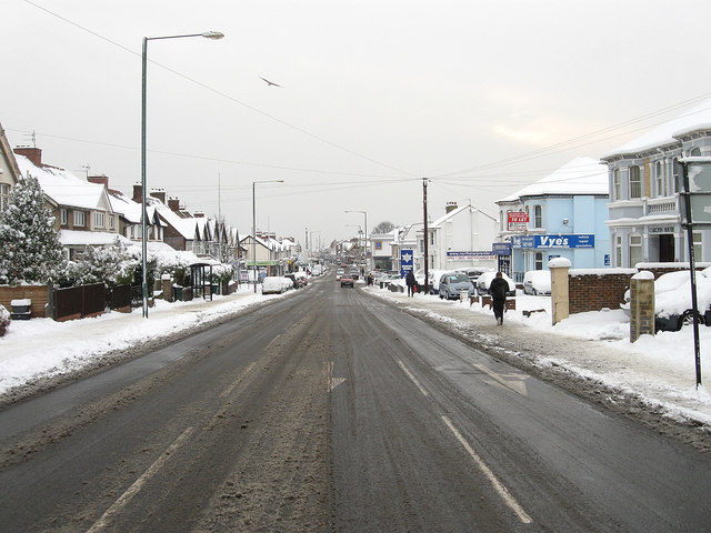
Image: © Simon Carey Taken: 2 Dec 2010
The houses on the left are on Boundary Road, those on the right are on Carlton Terrace. This is the northern end of the B2194, see Image for the southern end and an explanation about why the road has two names.
Images are licensed for reuse under creativecommons.org/licenses/by-sa/2.0
Image Location
Latitude
50.836924
Longitude
-0.204877