Lane from Gara Rock
Introduction
The photograph on this page of Lane from Gara Rock by Derek Harper as part of the Geograph project.
The Geograph project started in 2005 with the aim of publishing, organising and preserving representative images for every square kilometre of Great Britain, Ireland and the Isle of Man.

There are currently over 7.5m images from over 14,400 individuals and you can help contribute to the project by visiting https://www.geograph.org.uk
Lane from Gara Rock
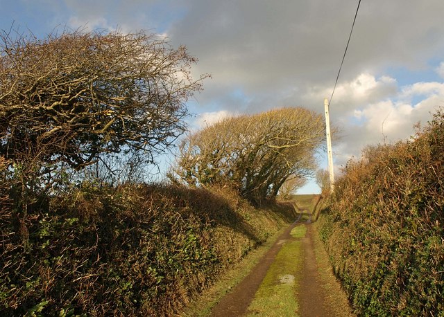
Image: © Derek Harper Taken: 29 Nov 2010
The no through lane from Gara Rock passes wind-shaped trees as it nears the T-junction with the lane near Rickham.
Images are licensed for reuse under creativecommons.org/licenses/by-sa/2.0
Image Location
Latitude
50.223691
Longitude
-3.74974