Footpath to Benfield Way
Introduction
The photograph on this page of Footpath to Benfield Way by Simon Carey as part of the Geograph project.
The Geograph project started in 2005 with the aim of publishing, organising and preserving representative images for every square kilometre of Great Britain, Ireland and the Isle of Man.

There are currently over 7.5m images from over 14,400 individuals and you can help contribute to the project by visiting https://www.geograph.org.uk
Footpath to Benfield Way
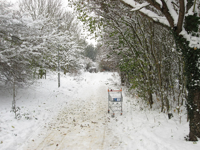
Image: © Simon Carey Taken: 2 Dec 2010
Leaving the main north-south route through Benfield Valley before heading under the A293 then towards Benfield Way. A couple of discarded trolleys line the route.
Images are licensed for reuse under creativecommons.org/licenses/by-sa/2.0
Image Location
Latitude
50.843316
Longitude
-0.205342