Crest Way
Introduction
The photograph on this page of Crest Way by Simon Carey as part of the Geograph project.
The Geograph project started in 2005 with the aim of publishing, organising and preserving representative images for every square kilometre of Great Britain, Ireland and the Isle of Man.

There are currently over 7.5m images from over 14,400 individuals and you can help contribute to the project by visiting https://www.geograph.org.uk
Crest Way
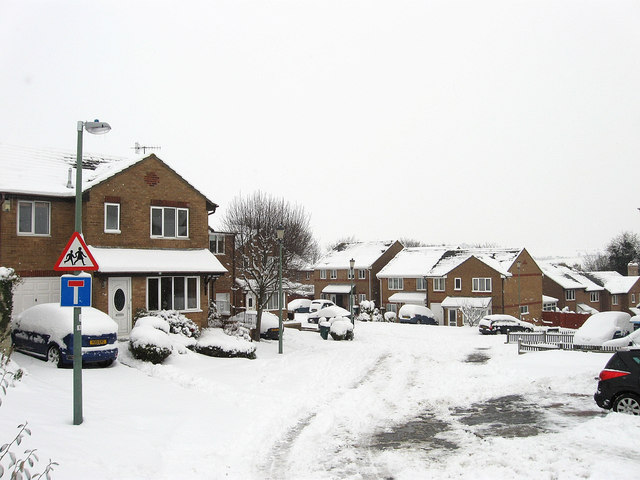
Image: © Simon Carey Taken: 2 Dec 2010
Built in the 1990s on the site of the former Foredown Hospital which had been opened in 1883 to treat infectious diseases. The hospital continued in use until the 1980s and was demolished in 1989 leaving only the former water tower, added in 1909, as a reminder.
Images are licensed for reuse under creativecommons.org/licenses/by-sa/2.0
Image Location
Latitude
50.849399
Longitude
-0.214911