Track to Lower Morrey
Introduction
The photograph on this page of Track to Lower Morrey by Espresso Addict as part of the Geograph project.
The Geograph project started in 2005 with the aim of publishing, organising and preserving representative images for every square kilometre of Great Britain, Ireland and the Isle of Man.

There are currently over 7.5m images from over 14,400 individuals and you can help contribute to the project by visiting https://www.geograph.org.uk
Track to Lower Morrey
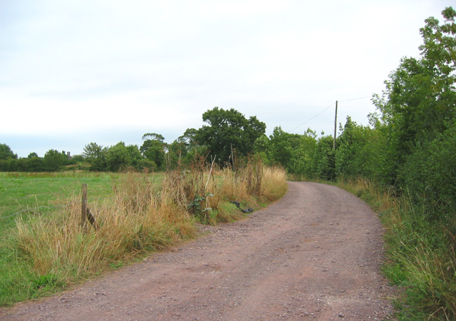
Image: © Espresso Addict Taken: 13 Aug 2006
An unsurfaced track runs from a sharp bend in Lodmore Lane just north east of Blackhurst farm, towards Lower Morrey. A drainage ditch runs parallel to the track to its right
Images are licensed for reuse under creativecommons.org/licenses/by-sa/2.0
Image Location
Latitude
52.963167
Longitude
-2.576116