Lake House Farm
Introduction
The photograph on this page of Lake House Farm by Richard Law as part of the Geograph project.
The Geograph project started in 2005 with the aim of publishing, organising and preserving representative images for every square kilometre of Great Britain, Ireland and the Isle of Man.

There are currently over 7.5m images from over 14,400 individuals and you can help contribute to the project by visiting https://www.geograph.org.uk
Lake House Farm
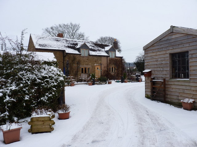
Image: © Richard Law Taken: 3 Dec 2010
This place gives its name to the brook that drains much of the area, the lakes in question being about 1/2 a mile upstream of the farm.
Images are licensed for reuse under creativecommons.org/licenses/by-sa/2.0
Image Location


Leaflet Map data © OpenStreetMap
Latitude
52.533805
Longitude
-2.695935