Lucklaw woodland track
Introduction
The photograph on this page of Lucklaw woodland track by I A Smellie as part of the Geograph project.
The Geograph project started in 2005 with the aim of publishing, organising and preserving representative images for every square kilometre of Great Britain, Ireland and the Isle of Man.

There are currently over 7.5m images from over 14,400 individuals and you can help contribute to the project by visiting https://www.geograph.org.uk
Lucklaw woodland track
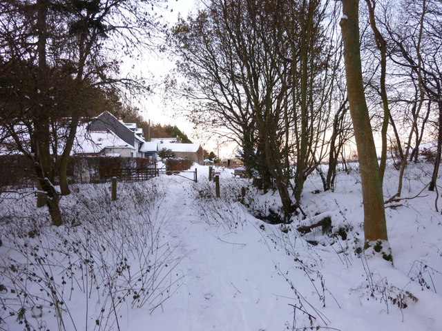
Image: © I A Smellie Taken: 4 Dec 2010
The barrier marks where the tarmac road stops and the track through the woods begins. A smaller track goes off to the right and leads to the summit of Lucklaw Hill
Images are licensed for reuse under creativecommons.org/licenses/by-sa/2.0
Image Location
Latitude
56.387773
Longitude
-2.94179