Brown's Bay Road, Islandmagee
Introduction
The photograph on this page of Brown's Bay Road, Islandmagee by Albert Bridge as part of the Geograph project.
The Geograph project started in 2005 with the aim of publishing, organising and preserving representative images for every square kilometre of Great Britain, Ireland and the Isle of Man.

There are currently over 7.5m images from over 14,400 individuals and you can help contribute to the project by visiting https://www.geograph.org.uk
Brown's Bay Road, Islandmagee
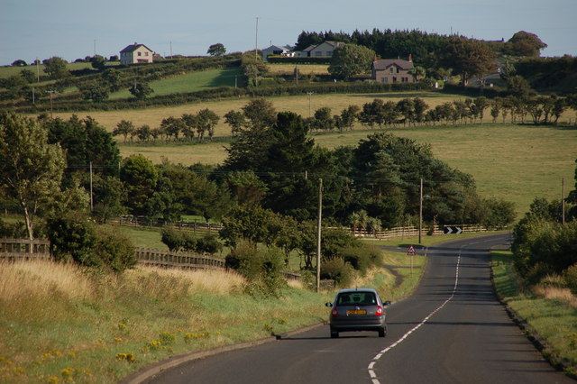
Image: © Albert Bridge Taken: 13 Aug 2006
The Brown’s Bay Road is probably the main road in Islandmagee. This is it as it drops towards Mullaghboy from the direction of Brown’s Bay. The Portmuck Road can be seen coming in on the middle left.
Images are licensed for reuse under creativecommons.org/licenses/by-sa/2.0
Image Location
Latitude
54.840131
Longitude
-5.735982