Bungalows, Overhill
Introduction
The photograph on this page of Bungalows, Overhill by Simon Carey as part of the Geograph project.
The Geograph project started in 2005 with the aim of publishing, organising and preserving representative images for every square kilometre of Great Britain, Ireland and the Isle of Man.

There are currently over 7.5m images from over 14,400 individuals and you can help contribute to the project by visiting https://www.geograph.org.uk
Bungalows, Overhill
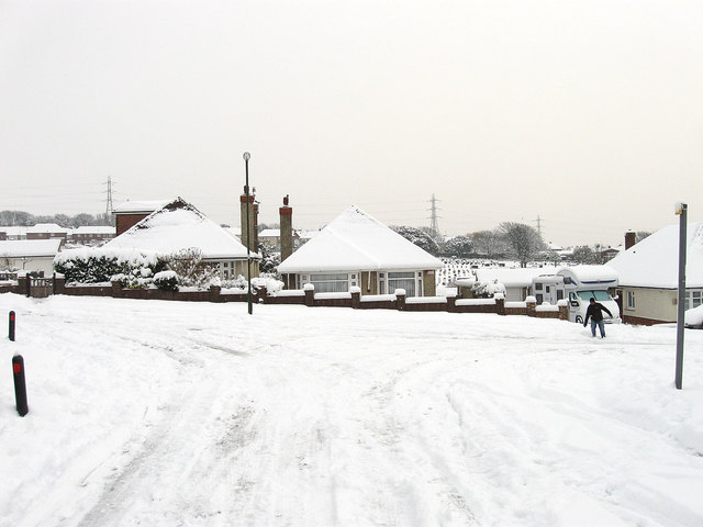
Image: © Simon Carey Taken: 2 Dec 2010
Viewed from the junction with Holmbush Way with Easthill cemetery visible beyond. The man on the right has just discovered that 8-10 inches of snow obscures the step between the kerb and the road. Much of Southwick north of Old Shoreham was developed in the immediate postwar years.
Images are licensed for reuse under creativecommons.org/licenses/by-sa/2.0
Image Location
Latitude
50.843773
Longitude
-0.235296