Queens Road
Introduction
The photograph on this page of Queens Road by Simon Carey as part of the Geograph project.
The Geograph project started in 2005 with the aim of publishing, organising and preserving representative images for every square kilometre of Great Britain, Ireland and the Isle of Man.

There are currently over 7.5m images from over 14,400 individuals and you can help contribute to the project by visiting https://www.geograph.org.uk
Queens Road
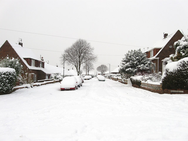
Image: © Simon Carey Taken: 2 Dec 2010
Residential road that runs between The Drive and Kings Road. Looks like no vehicle had tried to negotiate the 8-10 inches of snow that had fallen overnight. Much of Southwick north of the Old Shoreham Road was developed in the immediate postwar years.
Images are licensed for reuse under creativecommons.org/licenses/by-sa/2.0
Image Location
Latitude
50.843187
Longitude
-0.238159