Old Shoreham Road
Introduction
The photograph on this page of Old Shoreham Road by Simon Carey as part of the Geograph project.
The Geograph project started in 2005 with the aim of publishing, organising and preserving representative images for every square kilometre of Great Britain, Ireland and the Isle of Man.

There are currently over 7.5m images from over 14,400 individuals and you can help contribute to the project by visiting https://www.geograph.org.uk
Old Shoreham Road
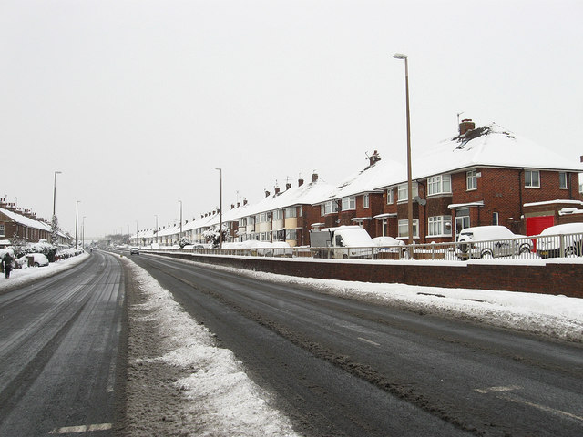
Image: © Simon Carey Taken: 2 Dec 2010
The former A27 now the A270 though the road itself is an ancient route following the course of a Roman road in places. The houses on the right were developed just before the war.
Images are licensed for reuse under creativecommons.org/licenses/by-sa/2.0
Image Location
Latitude
50.841132
Longitude
-0.239088