Across the fields at Longville towards Caer Caradoc
Introduction
The photograph on this page of Across the fields at Longville towards Caer Caradoc by Richard Law as part of the Geograph project.
The Geograph project started in 2005 with the aim of publishing, organising and preserving representative images for every square kilometre of Great Britain, Ireland and the Isle of Man.

There are currently over 7.5m images from over 14,400 individuals and you can help contribute to the project by visiting https://www.geograph.org.uk
Across the fields at Longville towards Caer Caradoc
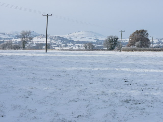
Image: © Richard Law Taken: 3 Dec 2010
An almost Alpine feel to this day, at least until the clouds brought gloom later. The distant hills are Willstone Hill above Hope Bowdler, and Caer Caradoc, above Church Stretton.
Images are licensed for reuse under creativecommons.org/licenses/by-sa/2.0
Image Location


Leaflet Map data © OpenStreetMap
Latitude
52.542755
Longitude
-2.687377