Southdown Road
Introduction
The photograph on this page of Southdown Road by Simon Carey as part of the Geograph project.
The Geograph project started in 2005 with the aim of publishing, organising and preserving representative images for every square kilometre of Great Britain, Ireland and the Isle of Man.

There are currently over 7.5m images from over 14,400 individuals and you can help contribute to the project by visiting https://www.geograph.org.uk
Southdown Road
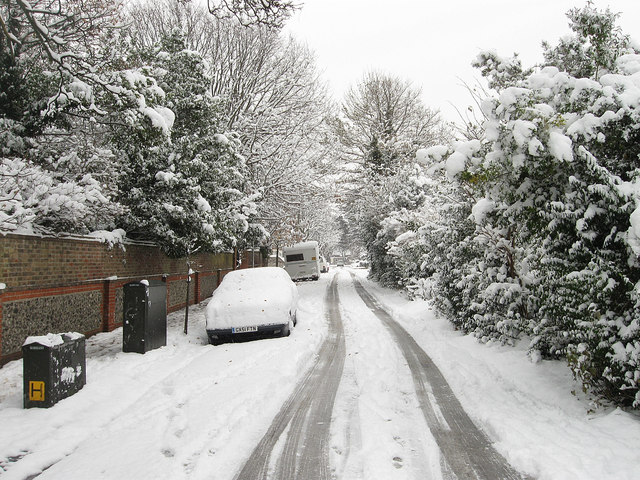
Image: © Simon Carey Taken: 2 Dec 2010
Side road linking The Green with Southwick Street that follows the course of an old farm lane. It was known by this name by 1899.
Images are licensed for reuse under creativecommons.org/licenses/by-sa/2.0
Image Location
Latitude
50.835607
Longitude
-0.236456