Snowy view of the Doe Lea Valley
Introduction
The photograph on this page of Snowy view of the Doe Lea Valley by Andrew Hill as part of the Geograph project.
The Geograph project started in 2005 with the aim of publishing, organising and preserving representative images for every square kilometre of Great Britain, Ireland and the Isle of Man.

There are currently over 7.5m images from over 14,400 individuals and you can help contribute to the project by visiting https://www.geograph.org.uk
Snowy view of the Doe Lea Valley
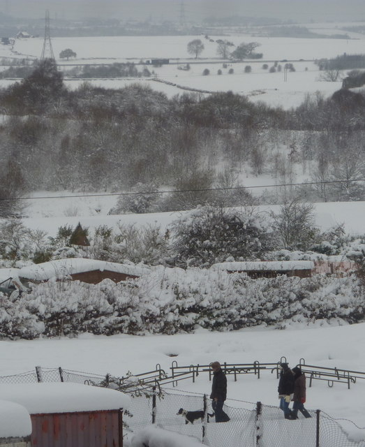
Image: © Andrew Hill Taken: 2 Dec 2010
In the foreground the people are walking in the park at Carr Vale. The highest in the line of dark trees on the left (just below the pylon) is on the embankment clearly shown on the map running into the next square.
Images are licensed for reuse under creativecommons.org/licenses/by-sa/2.0
Image Location
Latitude
53.226274
Longitude
-1.304489