West Road, Fishersgate
Introduction
The photograph on this page of West Road, Fishersgate by Simon Carey as part of the Geograph project.
The Geograph project started in 2005 with the aim of publishing, organising and preserving representative images for every square kilometre of Great Britain, Ireland and the Isle of Man.

There are currently over 7.5m images from over 14,400 individuals and you can help contribute to the project by visiting https://www.geograph.org.uk
West Road, Fishersgate
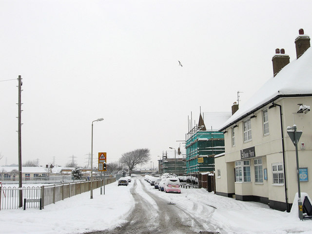
Image: © Simon Carey Taken: 2 Dec 2010
Developed during the mid 19th century as Shoreham Harbour grew and associated industries sprang up on the north bank. The Albion Inn is on the right and was named after an old oyster shop that had been built from the wrecked hulk of a ship called the Albion. A small recreation ground is on the left.
Images are licensed for reuse under creativecommons.org/licenses/by-sa/2.0
Image Location
Latitude
50.832241
Longitude
-0.222098