Cottages, Fishersgate Terrace
Introduction
The photograph on this page of Cottages, Fishersgate Terrace by Simon Carey as part of the Geograph project.
The Geograph project started in 2005 with the aim of publishing, organising and preserving representative images for every square kilometre of Great Britain, Ireland and the Isle of Man.

There are currently over 7.5m images from over 14,400 individuals and you can help contribute to the project by visiting https://www.geograph.org.uk
Cottages, Fishersgate Terrace
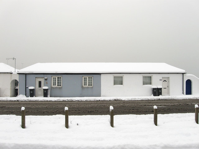
Image: © Simon Carey Taken: 2 Dec 2010
There are two of these single story semi detached cottages on the south side of the A259 and judging by the OS maps of the period seem to date from the mid 19th century.
Images are licensed for reuse under creativecommons.org/licenses/by-sa/2.0
Image Location
Latitude
50.830924
Longitude
-0.218314