Camden Street
Introduction
The photograph on this page of Camden Street by Simon Carey as part of the Geograph project.
The Geograph project started in 2005 with the aim of publishing, organising and preserving representative images for every square kilometre of Great Britain, Ireland and the Isle of Man.

There are currently over 7.5m images from over 14,400 individuals and you can help contribute to the project by visiting https://www.geograph.org.uk
Camden Street
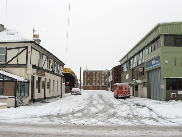
Image: © Simon Carey Taken: 2 Dec 2010
Small side street linking Wellington Road to North Street. The area here was once known as Copperas Gap and a small residential district sprung up during the Victorian period to service the growing industries based around the new port of Shoreham. Officially renamed as Portslade by Sea in 1896 the community persisted until the 1960s when many of the small terraced houses were pulled down and replaced with industrial units. The pub on the left is a survivor from those times, originally known as the Alexandra Inn, it is now the Harbour View.
Images are licensed for reuse under creativecommons.org/licenses/by-sa/2.0
Image Location
Latitude
50.830259
Longitude
-0.210103