Footpath junction near Staple
Introduction
The photograph on this page of Footpath junction near Staple by David Anstiss as part of the Geograph project.
The Geograph project started in 2005 with the aim of publishing, organising and preserving representative images for every square kilometre of Great Britain, Ireland and the Isle of Man.

There are currently over 7.5m images from over 14,400 individuals and you can help contribute to the project by visiting https://www.geograph.org.uk
Footpath junction near Staple
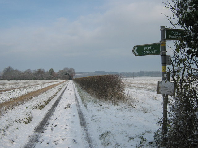
Image: © David Anstiss Taken: 29 Nov 2010
A footpath leads along Grove Road towards The Groves (three houses in a field), and onwards to Great Pedding Farm. Another footpath heads left diagonally across a field towards a farm track heading to Brook Farm. Another path heads right (diagonally across a field) to The Rookery (houses on Durlock Road). Lastly a path heads right along the hedge towards School Lane in Staple.
Images are licensed for reuse under creativecommons.org/licenses/by-sa/2.0
Image Location
Latitude
51.266391
Longitude
1.249144