Aerial view
Introduction
The photograph on this page of Aerial view by terry joyce as part of the Geograph project.
The Geograph project started in 2005 with the aim of publishing, organising and preserving representative images for every square kilometre of Great Britain, Ireland and the Isle of Man.

There are currently over 7.5m images from over 14,400 individuals and you can help contribute to the project by visiting https://www.geograph.org.uk
Aerial view
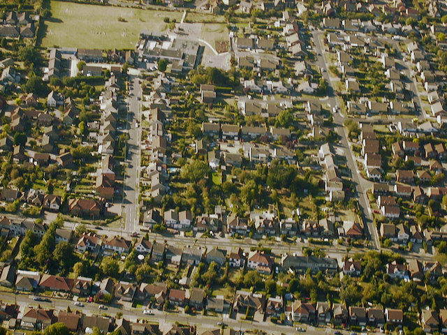
Image: © terry joyce Taken: 24 Sep 2003
The road running horizontally at the bottom of the picture is Image The next road up running horizontally is Image From the left, the first vertical road is Image The longer vertical road is Image The playing field and building top left are Image
Images are licensed for reuse under creativecommons.org/licenses/by-sa/2.0
Image Location
Latitude
51.600152
Longitude
0.605413