Hill Farm housing Development
Introduction
The photograph on this page of Hill Farm housing Development by Thomas Nugent as part of the Geograph project.
The Geograph project started in 2005 with the aim of publishing, organising and preserving representative images for every square kilometre of Great Britain, Ireland and the Isle of Man.

There are currently over 7.5m images from over 14,400 individuals and you can help contribute to the project by visiting https://www.geograph.org.uk
Hill Farm housing Development
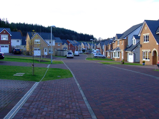
Image: © Thomas Nugent Taken: 22 Nov 2010
On former greenbelt land, south of the railway line at Inverkip. The railway is behind the houses on the right. Berfern Plantation is behind the houses on the left. There are no street signs in place yet.
Images are licensed for reuse under creativecommons.org/licenses/by-sa/2.0
Image Location
Latitude
55.905295
Longitude
-4.868686